Minerals
Crops
Area in hectares
Yield in kilograms per hectare
Go to sourceForest
Forest Area in hectare
Go to source4115.65
Total Road Length(in sq. km.)
0
Total Rail Length(in km.)
1
Number of Airports
Health
Education
Agro Based industries
There is a average yield of wheat, rice, maize and ginger in the district, hence agro based units of smaller size has a good potential. Also, the humid climate of the district provides an advantage for mushroom cultivation and processing.
Proposed Augmentation of Industrial Area -RIICO Ind. Area Joravarpura Simalwara.
02
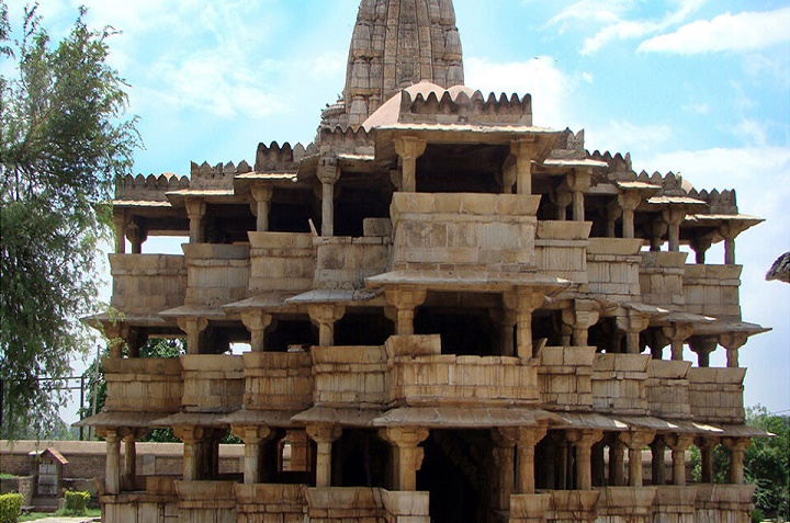
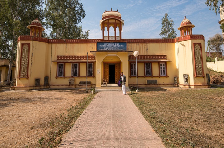
Number of Archaeological Sites
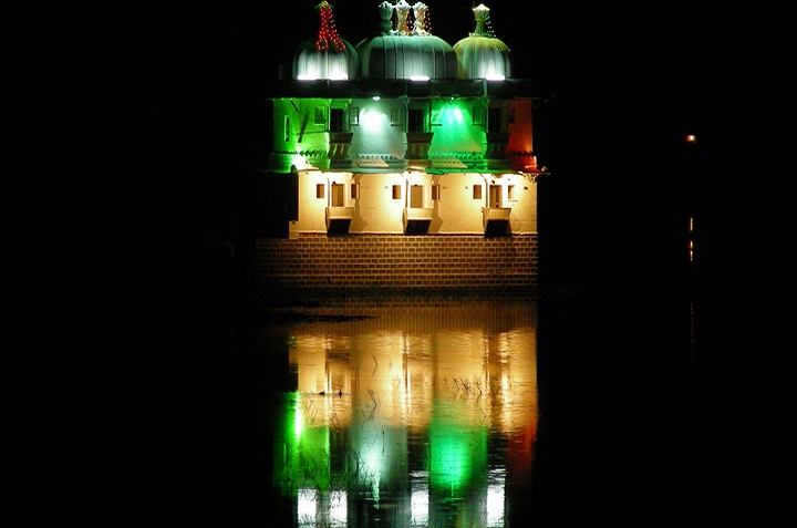
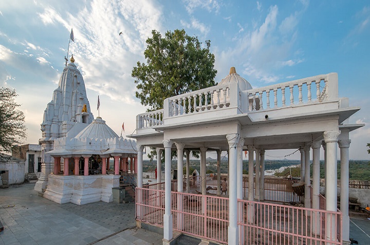
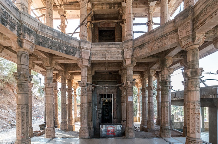
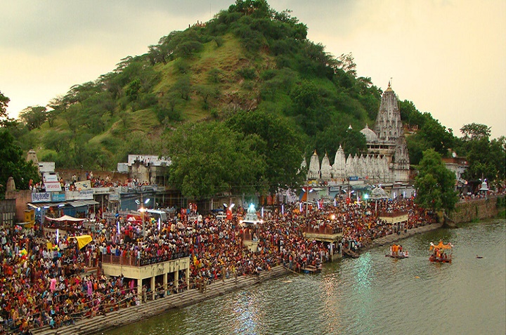
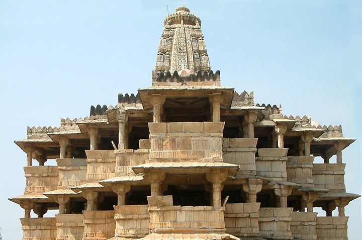
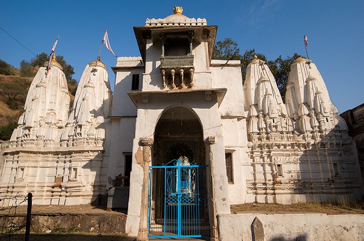
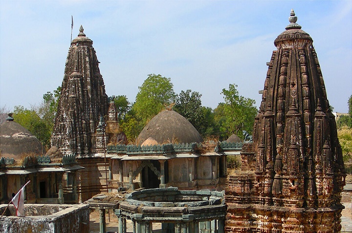
Total Number of Temples 307
Go to source30
Rajkiya Pratyaksh Prabhar
01
Rajkiya Atma Nirbhar
01
Rajkiya Supurdgi
51
Rajkiya Sahayata Prapt
224
Rajkiya Varshiki Prapt
| Category | Meaning |
|---|---|
| Rajkiya Pratyaksh Prabhar | Directly managed by Devsthan Department |
| Rajkiya Atma Nirbhar | Managed by Temple Priests |
| Rajkiya Supurdgi | |
| Rajkiya Sahayata Prapt | Temples that receive traditional funding or economic support |
| Rajkiya Varshiki Prapt | Temples that receive an annuity |
6,41,515
Total Workforce
2,16,411
Main Workers
4,25,104
Marginal Workers
49435
Migrant Labourers
Registered Migrant Labourers
| S. No. | Category | Number |
|---|---|---|
| 1 | Electronics, Electrical and Computer | 449 |
| 2 | Industry / Business | 79 |
| 3 | Consultancy / Agent | 615 |
| 4 | Medical related | 43 |
| 5 | Tour, Travels Transport | 44 |
| 6 | Washing and cleaning | 403 |
| 7 | Religious | 05 |
| 8 | Migrant labor | 26 |
| 9 | Building and construction | 18722 |
| 10 | Food and vegetable | 686 |
| 11 | Entertainment and sports related | 55 |
| 12 | Marketing, Advertising and Printing | 352 |
| 13 | Repair / repair | 252 |
| 14 | Weddings & Events | 235 |
| 15 | Education and learning | 1754 |
| 16 | Safety and Security | 20 |
| 17 | Other | 2447 |
| Total | 26187 | |
